I've been to Canada many times over the years, but never by bicycle. That changed as of last Friday, when I joined 1299 other cyclists to ride from Seattle, Washington to Vancouver, B.C. on the Cascade Bicycle Club's "RSVP" ride. RSVP stands for "Ride from Seattle to Vancouver (B.C.) and Party." The ride was started over 25 years ago and is still going strong.
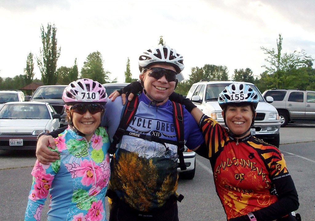
It was not hard to convince me to undertake this journey; I would be going to my favorite city in the world via my favorite mode of transportation, and seeing new sights along the way. I was joined in this venture by my buddies Lynne and Jason. They had both done the ride before, but were as excited as I was to get going.
The ride started at Magnuson Park in Seattle. Fortunately for me, Magnuson Park is less than 5 miles from the home of my brother Kevin and his wife, Tammy. [Shameless Plug: Kevin is a very talented blues musician who plays at various spots around Seattle - if you have a chance, you should check out his shows]. So on Thursday I drove up to their place, through some of the worst traffic I have ever encountered. At one point I considered pulling over, hopping on my bike and going the rest of the way two-wheeled. I very well may have were it not for the fact that it was also BUCKETING down rain (not a good omen for a bike ride).
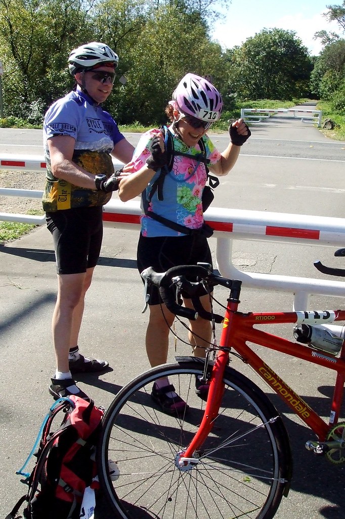
The ride start opened at 6:30 Friday morning. My goal was to be pedaling by 7:00. I was, of course, awake by 5:00 and ready to go by 5:30. Just a little anxious. I managed to twiddle my thumbs until 5:45, but still ended up arriving at the start by 6:00. This means I had plenty of time to use the blue rooms, drink some tea, use the blue rooms again, collect swag, use the blue rooms again, find Lynne and Jason, use the blue rooms again . . . .
The ride would take two days. The first night we would be staying in Bellingham, home of Western Washington University. Lynne, Jason and I had all arranged to stay in the WWU dorms, and we dropped our luggage off at the truck headed for those dorms. Skip was tying orange flags to the bags to identify them as "dorm" bags so that they wouldn't be dropped off at one of the hotels accidentally. If that were to happen, it would be up to us to go find them because, as Skip said, he was "there to be helpful, but not that helpful." Shortly after putting his bag in the ever-growing pile, Jason decided he needed something out of it. Fortunately, it was still somewhere near the top.

Jason's luggage squared away, and final trips made to the blue rooms, we were ready to hit the road or, to be more accurate, the Burke Gilman Trail. The BGT is a multi-use path that stretches a little over 14 miles from Fremont to Kenmore. Apart from the tree roots that have lifted portions of the trail, and the stop signs every 50 feet in certain stretches, the trail was a joy to ride and the scenery spectacular.


In fact, I liked the BGT so much, I turned around and re-did it. Well, not exactly. What really happened is that my cyclometer decided to hop off my bike at some point when I was not looking, and I backtracked in a vain attempt to find it. I had stopped to take a picture and Lynne and Jason had just passed me - I told them I would catch up with them, but then realized I had no bike computer. So I hopped on my bike and started back the way we came. After a little less than 1/2 an hour I gave up. I never found the cyclometer, but I did give myself an extra 10 or so miles, and 45 or so minutes (the "or so" would be because I had no cyclometer to be exact!!), In any event, it gave me the chance to revisit some oddly labeled restrooms we had passed on the way:
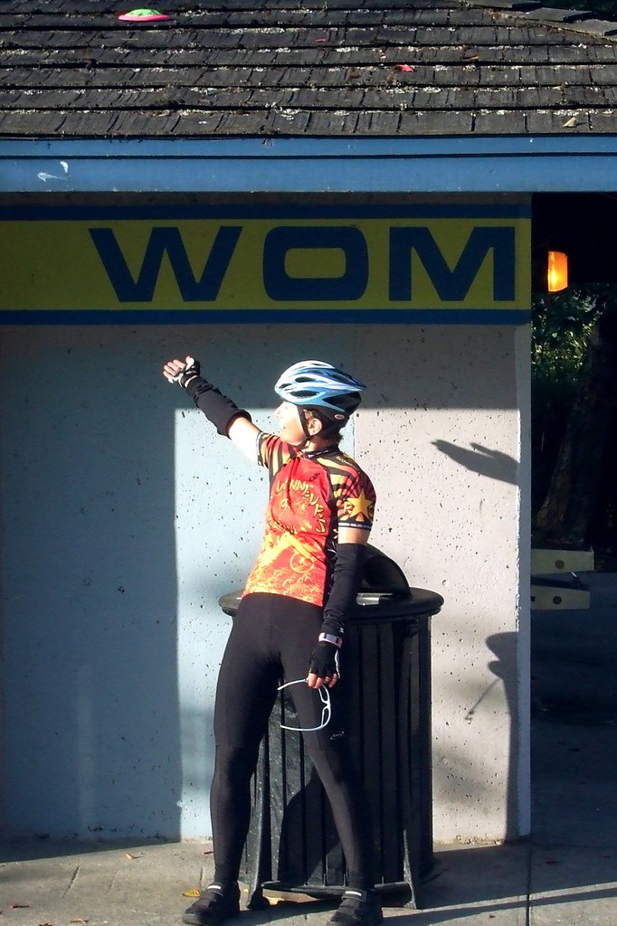 . . . I am WOM, hear me roar . . .
After leaving the BGT, we wound our way through some relatively uninteresting road construction and Edge City landscapes in Bothell and Woodinville until suddenly, after climbing a hill and rounding a corner, we were smack dab in the middle of the Republic of Bucolia, aka Snohomish County.
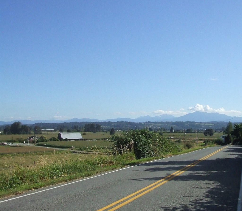
Snohomish County is very, very pretty. I soon reached the Snohomish Airport, and remembered that Lynne had said something about the "Buzz Inn" restaurant there being a traditional stop for them. I pulled in, hoping she and Jason might still be there eating breakfast, and found them getting ready to pull out. Excellent timing. I would later find that Lynne had left a message on my cell phone as to their whereabouts. Some day I will learn how to use that thing. It would later turn out to be the bane of my ride, as I tried desperately to meet up with an Internet friend who was on the ride. My only means of finding him was via cell phone, and mine suddenly decided to commit battery suicide. I had, of course, not bothered to bring the recharger with me. I never did meet up with him, and am sad about that.
In Snohomish we hooked up with the Centennial Trail. Another multi-use path like the BGT, the CT is a lovely trail EXCEPT for the really annoying barriers (presumably intended to slow bicycles) at intersections. Barely passable on a single, they are impossible to negotiate on a tandem, so Lynne and Jason had to go off-road to get around them. Unfortunately, at the third of the barriers, their "off-road" passage took them completely off the road and into a ditch.
A ditch filled with nettles.
Fortunately for them the nettles were soft and broke their fall.
Unfortunately for them, the nettles were, well, nettles.
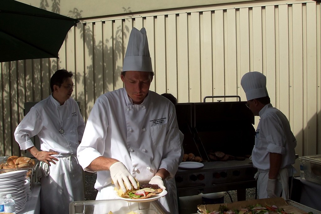
Our next stop was Arlington, with lunch at the Bluebird Cafe. Bicycles and their riders were everywhere - it was a little like Sturgis, with Lycra instead of leather. After lunch, we stopped at a drug store so that Lynne could score some Lanacaine to help tune out the nettle "twinging" she was experiencing (Jason will be apologizing for a very, very long time). Out of Arlington we climbed up past Lake McMurray and Big lake (imaginative name, huh?) on our way to Mt. Vernon and the first "official" rest stop of the ride. Each day had one "official" rest stop, but also a number of mini-stops. Although the ride was described as primarily "self-supported," there was very little danger of anyone going hungry or thirsty.
After Mt. Vernon, it was on to Bow fro one more mini rest stop, and then to Chuckanut Drive, the high point of the day (apparently both literally and figuratively). Chuckanut Drive is one of the prettiest roads I have ridden to date. An extremely gentle climb of less then 10 miles, it skirts Samish Bay, and there are frequent turnouts from which to enjoy magnificent vistas.


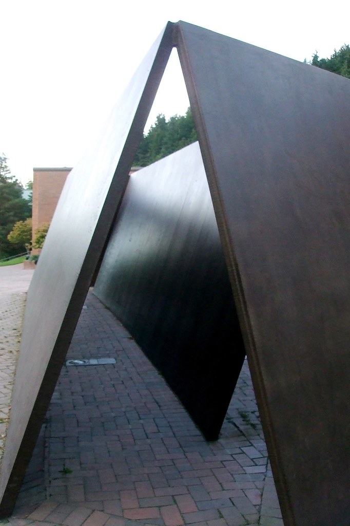
After the climb up Chuckanut it was all downhill to Bellingham, the end point of the day's ride. After a stroll through the Western Washington University Campus to enjoy the sculptures,
and a lovely pint (or two) at the Boundary Bay brew pub,

I was ready to hit the sack in the WWU dorm.

The next day we were up bright and early and on our way to Canada. I rode hard the first 15 miles or so, just to get my blood flowing, but stopped for breakfast with Jason and Lynne at the Dutch Mother in Lynden, Washington - another RSVP tradition.
On the second day of RSVP, the Dutch Mother restaurant sets out a breakfast buffet for bikers.
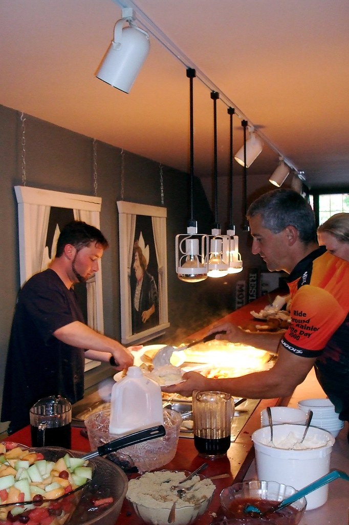
Hundreds of cyclists file through in a couple of hours' time, and at $8.95 a head the Dutch Mother manages to feed them all. More "eggs and pancakes" than "loaves and fishes," but still fairly miraculous.

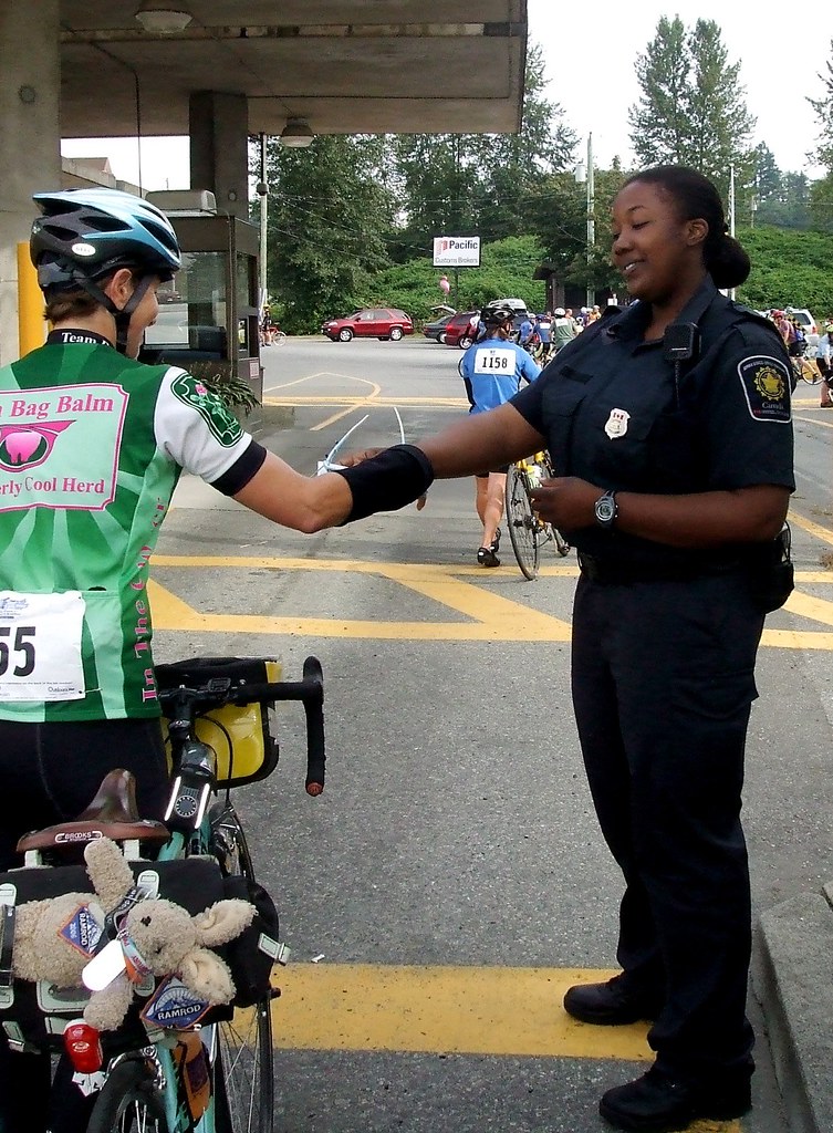
And then it was on to Canada. Surprisingly enough, they let me across the border. I could have sworn that TRFKAF was on a watch list because of his artificial testosterone use, but I guess not. I had met up with Jason and Lynne in Lynden for breakfats, and we stuck together to cross the border, and then off and on for the rest of the day.
The trip from the border to Vancouver was not nearly as nice as the trip from Seattle to Bellingham. I determined that the first day of RSVP is "all about the ride," and the second day is "all about the destination." In Canada, we rode a number of very busy highways, competing for space with some very big trucks. By the last 1/4 of the ride, I was more than ready to be done! There were some high points, however. Fort Langley is one of the cutest towns I have seen, we got to ride a ferry, I ate "licorice tiger" ice cream for the first time at Rocky Point, and we didn't get rained on.
Riding through Vancouver proper was interesting. It helped that I have a LOT of urban riding experience (i.e. I know how to "take" a lane when necessary). It also helped that Greg and I have spent many, many hours wandering around Vancouver on foot over the years. I knew all the streets we were to take, and I knew all the tricks to taking them. Unfortunately, many of my fellow riders had clearly never ridden in a city before, let alone an enormous city, and I saw a LOT of stupid biker tricks take place. Happily, I reached the finish line unscathed and treated myself to an extremely tasty veggie burger at the end.
Then I met up with my friend Steve, and his daughter Laurel. Steve and Laurel had never been to Vancouver before, so I dragged them around town before heading for a filling and delicious dinner at the India Bistro on Davie Street. After dinner, Laurel hit the sack and Steve and I took a walk along the seawall to Yaletown and then back to the hostel we were all staying at.
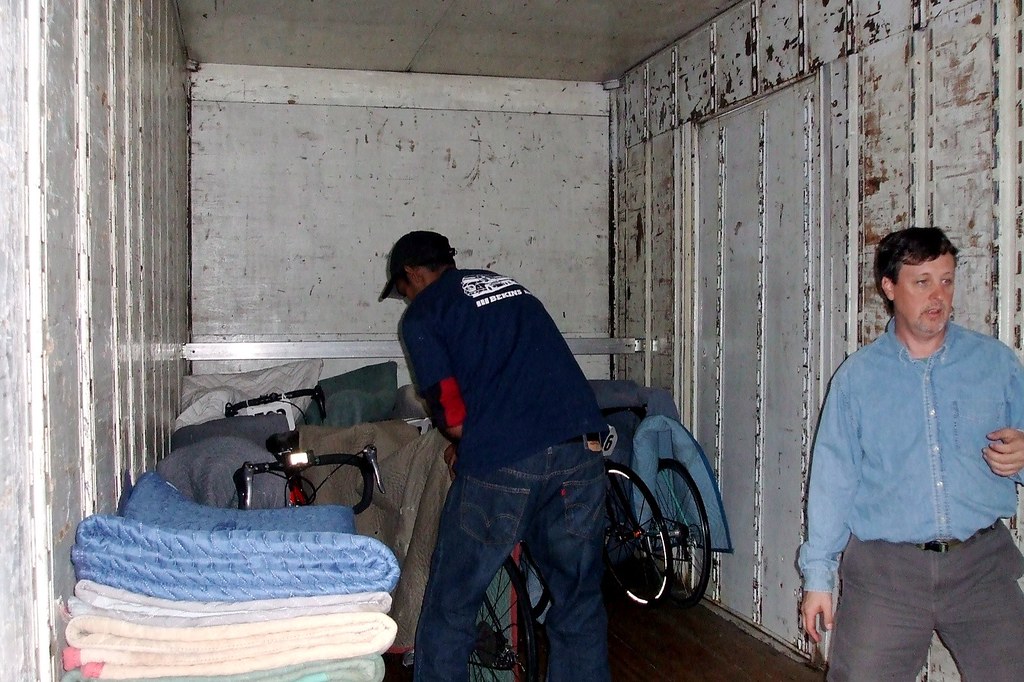
The next day, Sunday, we were up with the dawn to load our bikes on a truck and ourselves on a bus to head back to Seattle. They had moving vans for the bikes, each wrapped in its own little banket, and "Greyhound" style buses for us.

In past years, the buses filled with bikers had reached Seattle long before the trucks filled with bikes. Not this time. Thanks to Homeland Security and two or three busloads of non-US citizens ahead of us, we spent close to three hours not moving an inch in the line at the border. But we finally got across the border and, two hours later, were reunited with out bikes in Magnuson Park. All told, it was loads of fun.
More of my pictures can be found at:
http://tinyurl.com/24835w
And you can find Lynne's version of events at
http://lynnerides