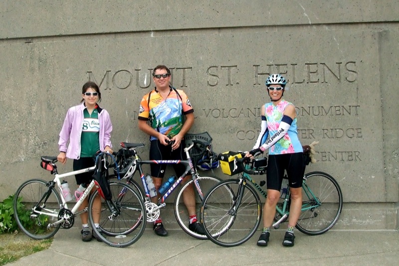
On Sunday, July 15, my friend Steve, his daughter Laurel and I decided to ride the Spirit Lake Highway up Mt. St. Helens to Johnston Ridge. Mt. St. Helens is an active (very active) volcano in southwest Washington, about an hour's drive from Portland (an hour to the base - it's another 54 or so miles from I-5 to Johnston Ridge).
Every year there is an organized ride up the mountain in late June, called the Tour de Blast. I've done it a few times, but this time we decided to do the ride on our own on a day when we wouldn't be sharing the road with hundreds of other cyclists. This did, of course, mean that we were also on our own for food and water, but that's why God created handlebar bags.
Steve and Laurel planned to start riding from the high school in Toutle, which is where the Tour de Blast always starts. Round trip from the high school would be 88 miles. I wanted more miles than that, and so they dropped me off at the exit from I-5, and I headed southwest into Castle Rock to check out a side loop a friend had told me about that would eventually bring me back to the Spirit Lake Hwy about halfway between the freeway and the Toutle high school.
The side route turned out to be an excellent adventure - about 12.5 miles of deserted, winding, well-paved, and only a little bit steep, country roads with incredible views of the Cowlitz River valley to the west and Silver Lake to the north(ish).
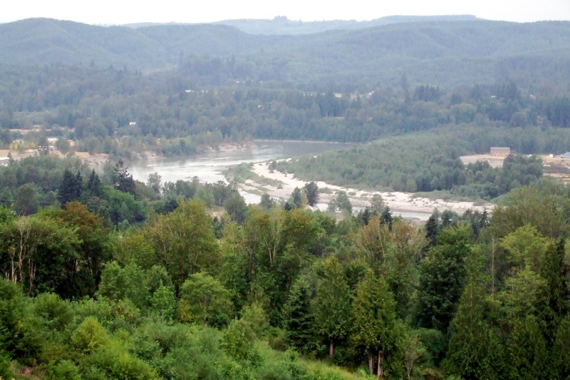
The climb woke me up, that's for sure, but the long, fast swoop back down to Spirit Lake Hwy was well worth it. The high school was another 5.5 miles or so. The entire side trip was just over 18 miles. I figured that Steve and Laurel would probably have an hour's head start on me and that I would most likely meet up with them somewhere around Coldwater Lake, when I would be on my way up the last 6 miles to Johnston Ridge while they were coming down.
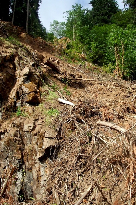
Not too long into the ride, I saw a orange warning sign on the side of the road: "SLIDE." Oh dear - perhaps my ride would be over before it really even got started! Fortunately, they had cleared the road and put up Jersey barriers to keep the slide back enough for cars and bikes to get by. The hillside did not look very stable, though, and given the amount of seismic activity on the mountain I was not so sure it was safe to hang around much looking at it . . .
 The highway up to Johnston Ridge from the high school is not ALL uphill. Just mostly. The first 20 to 25 miles is a series of gentle rollers; I was steadily climbing, but not working too hard. I stopped at the Shell station in Kid Valley (last chance for gas) and got a soda and chatted with the owner. He apologized for not having any bananas, "I know you bike riders sure like bananas." I told him not to worry, I had a couple in my pack. He then told me about how he gets leg cramps when he is hunting - I recommended Cytomax.
After Kid Valley, the road started to pitch up a little more steeply and the "down" part of the rollers became a mere memory. Climbing, climbing, climbing, for about 9 miles past various tourist traps, rest areas and Weyerhouser propaganda centers, until I finally reached Elk Rock.
At just over 3000 feet it's the first "crest" of the day. From Elk Rock, it's a 4.5 mile drop down to the Coldwater Visitors' Center, and another 2 mile drop from the visitors' center to Coldwater Lake. From Coldwater Lake, it's just under 7 miles uphill to Johnston Ridge, elevation 4200 feet.
I had just passed the lake when I saw Steve and Laurel heading toward me from the direction of Johnson Ridge. It was getting kind of late, so I turned around to catch them, thinking that if they needed to get home I should probably cut my ride short. If I kept going, it would be at least another hour before I got back to this point, and I wasn't sure they had that much time. Steve stopped to talk, while Laurel plugged on up the hill toward the visitors' center. He told me that they had stopped short about 5 miles from the top because Laurel was not feeling well. He told me I should go on and go to the top, because they were going to get some lunch at Coldwater and let Laurel take a nap. I told him OK, and that I would get back to the visitors' center in about 1.5 hours so we could ride the rest of the way home together.
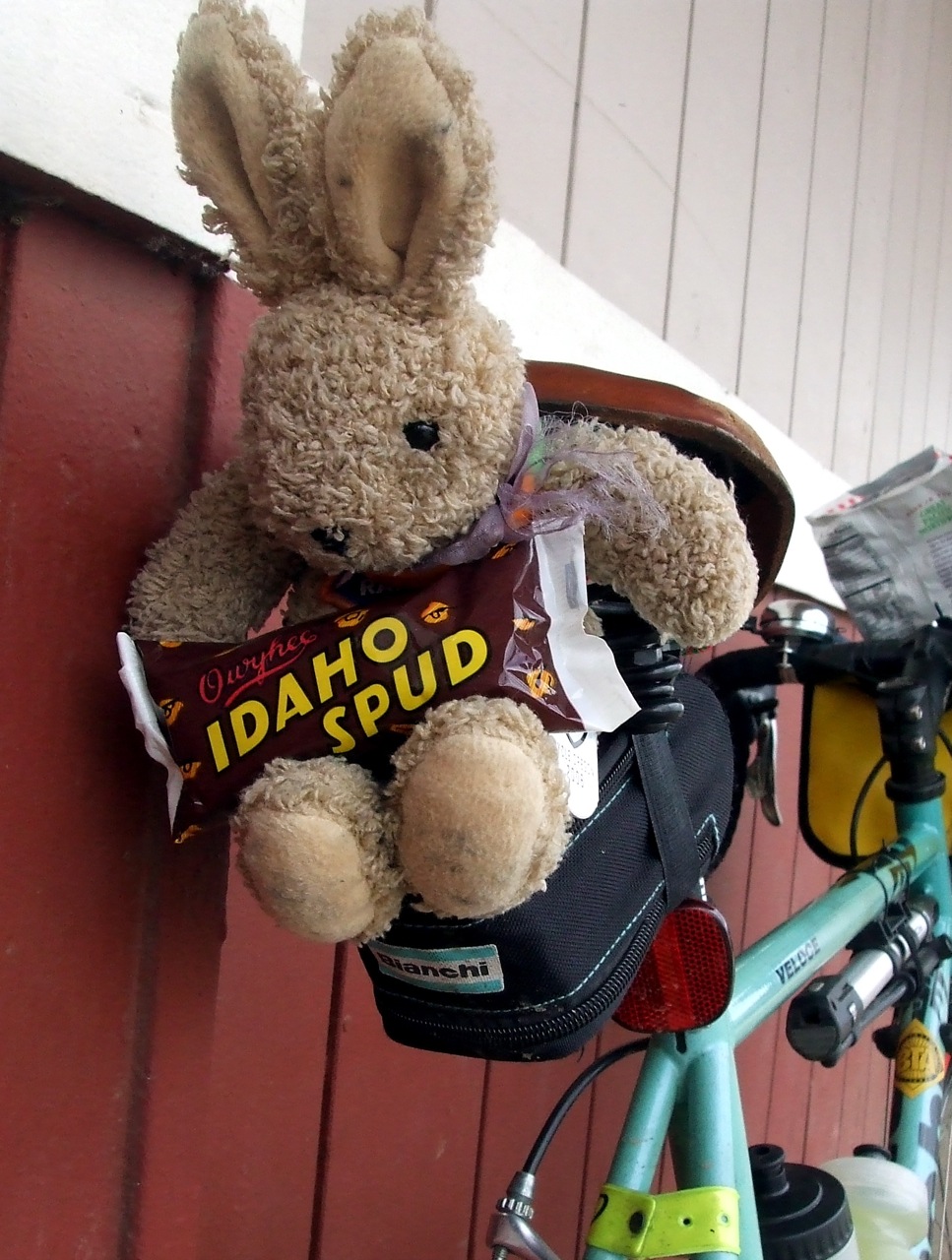
I stopped at the Loowit Viewpoint just below Johnston Ridge for a TRFKAF photo op - because of the cloud cover, the view of the crater there ended up being better than the view further up!
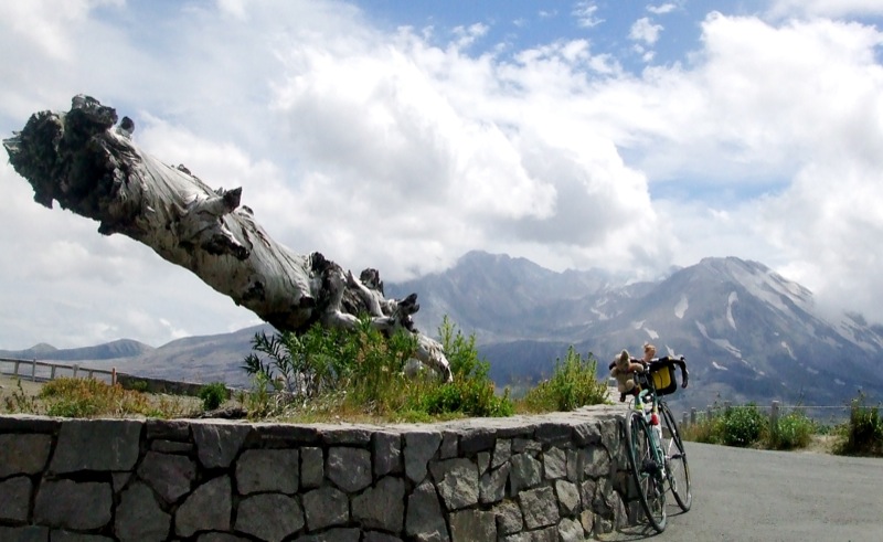
The last 5 miles up to Johnston Ridge are brutal, and the last 1/2 mile is particularly cruel. The first time I did this route, I walked my bike that last 1/2 mile and felt no shame whatsoever. I ride it now, but I curse the whole time.

People passing me in their cars honked and waved encouragement -at least most of them did. One guy gave me the finger - and he had a bike rack on his car! Not what I would have expected from a fellow cyclist. I decided it must not have been his car.
I got back to the visitors' center to find Laurel curled up on a stone wall sleeping. Woke her up, located Steve, and we were off. The 4.5 mile climb back up to Elk Rock was tough - I bonked about a mile in. I had been eating all day, but apparently not eating enough. I stopped and finished off the rest of my supplies while Steve and Laurel (the well-rested Steve and Laurel who had put in 28 fewer miles than I had, I might add) continued on. They waited for me at the top of the climb so we could all start down together, but then they had to stop to put on their jackets (it was getting chilly, and we would be going downhill fast). I had already put my armwarmers on, so I kept going.
Coasting at 35+ miles per hour in full aero-tuck for 9 miles was almost as tiring as pedaling up those 9 miles had been in the morning. Well, maybe not THAT tiring. There were some wicked head and cross winds, though, which kept me busy correcting and prevented me from reaching maximum velocity. I was bummed about that - usually on MSH I can break 50 mph, if even only for a second or two, but this time my maximum speed was only 44.
I got back down to Kid Valley far ahead of Steve and Laurel - I got another soda pop and talked to some folks from Massachusetts until S & L showed up. From there it was about 12 miles back to town on those gentle rollers and we stayed together, occasionally taking turns blocking the wind, although Steve is the only one big enough to effectively serve as a wind block.
At the high school, my computer showed 105.1 miles, so my guess from the morning was pretty darn accurate. It was late, and my average speed slower by almost 2 mph from last year's Tour de Blast - but then last year I hadn't ridden an additional 18 miles of hills before the start.
No comments:
Post a Comment