As luck would have it, my friend Bill Alsup, who is also in search of an R-12, and who is also signed up for the 600, decided he needed an insurance perm as well. He sent out a call to the club listserv suggesting a Labor Day ride, on the Or Rando Vernonia-Skyline Route. I was intrigued. It was a route I had not yet done, and I could ride to the start from home. I was in. Another club member, Joshua Bryant, also signed up. We three agreed that we would start from the Starbucks at Lombard and Philadelphia in St. John's at 7:30 AM.
I left home a little after 6:00AM Labor Day morning. The weather forecast was for warm, sunny weather but it was fairly chilly that early, so I had on a jacket and leg and arm warmers. I was trying to pack lightly, because I had a feeling we would be doing a lot of climbing, but at the same time I wanted to be warm enough to enjoy the ride. I get cold easily, and then my hands go numb. Having feeling in your fingers is a good thing when you are trying to do things like brake and shift.
I got to the Starbucks early, but Joshua was already there. He had also ridden to the start from his house in the Woodstock neighborhood; about 5 miles further from the start than my place in Ladd's Addition. He was eating an egg/english muffin sandwich that looked pretty tasty. I had already had my first breakfast, but was ready for my second. We had plenty of time, so I got some sort of egg-tomato-feta wrap thing. It wasn't bad, considering the source. The women working the counter wanted to know where we were riding to; when I explained the route they were duly impressed.
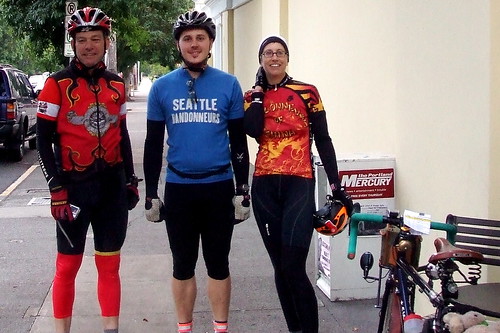
Bill arrived and ordered his traditional pre-ride teeny tiny espresso drink. After some inevitable faffing, we were ready to go. The women at the counter initialed our cards and we headed out. Bill got out his camera to take a pre-ride picture of me and Josh, and a women who was sitting outside offered to take one of all of us. So I handed her my camera, too. She was EXTREMELY wound-up for 7:30 in the morning. I am pretty sure there was more than caffeine in her coffee.
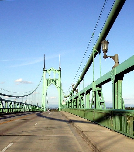
We started by heading west over the Willamette River via the St. John's Bridge. The St. John's is my favorite bridge in Portland. For one thing, it's lovely.
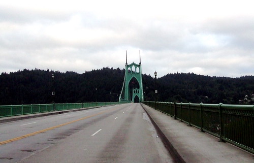
For another thing, I love riding over it because it has two lanes, so I can take the right lane and cars can pass me in the left. And unlike crossing on the Hawthorne bridge, I don't have to play dodge 'em with pedestrians. I know that other people have complained about drivers on the bridge, but I have never really had any problems with them.
Once we were over the bridge, we turned south on Hwy 30 toward Portland. We would follow Hwy 30 into Northwest Portland, skirt Montgomery Park (an office building, not an actual park) and start heading uphill toward Washington Park and, eventually, Skyline Boulevard.
We entered Washington Park via Stearns Way, an old road that has been blocked to car traffic for a while now. The entrance is somewhat hidden and I never knew it existed until I rode the Worst Day of the Year Ride, which took way into the park. It's now one of my favorite roads.
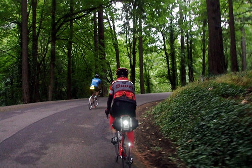
We wound our way through the park and at the top turned right toward Skyline. Usually when I am riding up through the park, I am on my way to Lynne's house, in which case I would turn left. I had to remind myself to turn right this time. We turned onto Skyline from Fairview, which was also the site of our first information control. Unlike some of our info controls, there was no need to debate what the correct answer might be.
Skyline is one of Portland's premier cycling roads. A long series of rollers that stretches the length of the summit of the West Hills, it offers some gentle climbs, terrific descents and spectacular views.
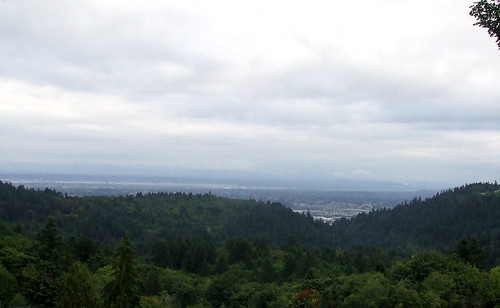
Sadly, it is also a favorite road for morons in fast cars or on fast motorcycles, and it does not have very wide shoulders. Fortunately, traffic was light for us.
From Skyline we dropped down into rural Washington County by way of Old Cornelius Pass Road, another great cycling road (not to be confused with regular Cornelius Pass Road, which is definitely NOT a great cycling road). We pedaled along past hay fields and llamas, through the towns of North Plains (being sure to come to a full stop at the Glencoe Road intersection) and Verboort, and eventually on into Forest Grove, our second control. The bakery we usually go to was closed, so we got ATM receipts to show our time, and then stopped at the somewhat weird and dingy local market for some water, Gatorade and snacks.
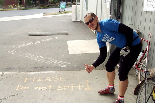
From Forest Grove we headed out to the town of Timber, via Gales Creek Road, Hwy 6 and Timber Road, and then from Timber to our next control in Vernonia. It was deja vu all over again for me, because I had just taken this route the week before, on the 400. The climb up to Timber summit gets a little less intimidating every time I do it. The stretch from Timber to Vernonia, on the other hand, seems longer every time I do it.
By the time we got to Vernonia, we were all pretty hungry. Bill and I had packed peanut butter sandwiches, and so really only need some side snacks, but Joshua was hankering for a meal. So instead of our usual stop at the Shell station, we went to the Black Bear Cafe (cue foreshadowing . . . .), where Joshua ordered an enormous meatball sandwich.
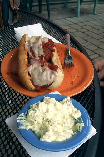
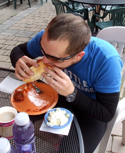
Sandwiches disposed of, it was time to once again hit the road. The sun was finally starting to make its presence known, but I was getting a little chilly sitting still and so was happy to start pedaling again. We stayed on familiar (to me) roads for a few more miles, but then turned onto the Vernonia-Scappoose Road to head up over the hills to, well, Scappoose. The V-S Road is 20 miles long. 10 miles UP, 10 miles DOWN. When Joshua and I finally got to the top, Joshua turned and said, "That climb was a lot harder than I'd expected." No kidding. I was very much looking forward to the next 10 miles of "down."
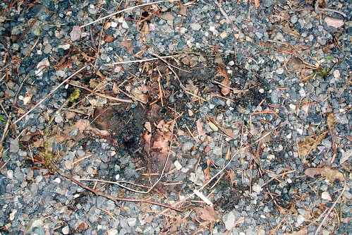
Bill was having knee pain trouble, and so was a little slower on the climb. While we waited at the top for him, we were passed too closely by a speeding Volvo. As we turned to watch it go down the road, we saw a large black animal lope across the road right in front of the car, about 200 feet from where we were standing. At first both Joshua and I thought it was a big black lab, but then realized it was a medium-sized black BEAR! The driver managed to brake in time, but I bet she had a heart attack. Serves her right. I was too slow to get a picture of the bear, but I got a picture of its track . . .
Bill arrived a few minutes later, and we headed down the hill to Scappoose. In Scappoose, we headed across Highway 30 and onto Dike Road, which circles around some fields and changes its name just enough times to confuse tired riders.
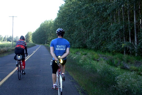
We then returned to Highway 30, and the home stretch. We were making excellent time, and I anticipated reaching the Starbucks in less than 11 hours f we pushed it. From Scappoose to the St. John's bridge is ever so slightly uphill, with a nasty steep bit to get up to the bridge itself.
Joshua and I reached the Starbucks 10 hours and 47 minutes after we left; Bill was about 7 minutes behind us. It was a good ride. And now I can DNF the 600 and still be on track for the R12. Of course, I'd chew my right arm off before I DNF'd the 600 . . .
2 comments:
When you earn your R-12 there'll have to be a party, yes?
Monster.
Oh yeah - of course, I'll use any excuse for a party
Post a Comment