I still haven't recovered enough to do a detailed post; perhaps I never will. So here's a photo essay for you to look at, while listening to this little gem from the mid-70s . . .
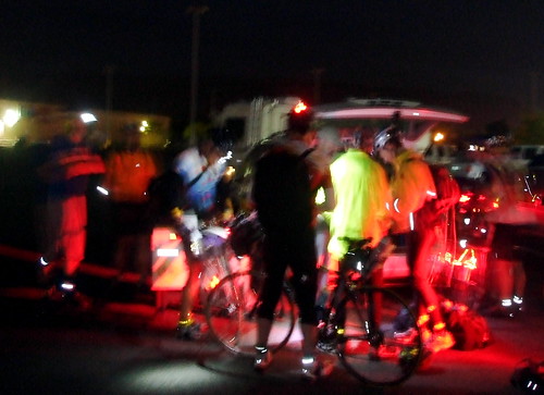
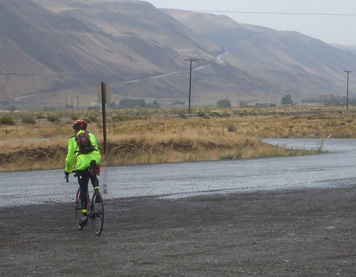
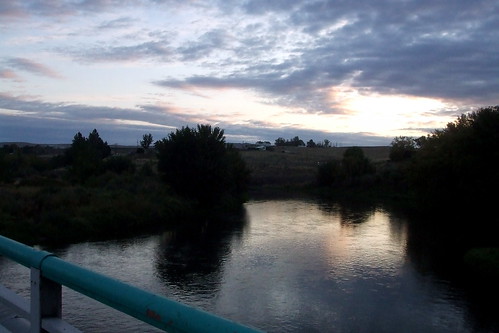
We started the day with the traditional pre-dawn registration and sacrifice to the flat tire gods . . .
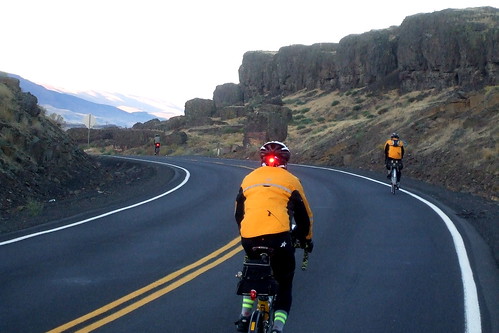
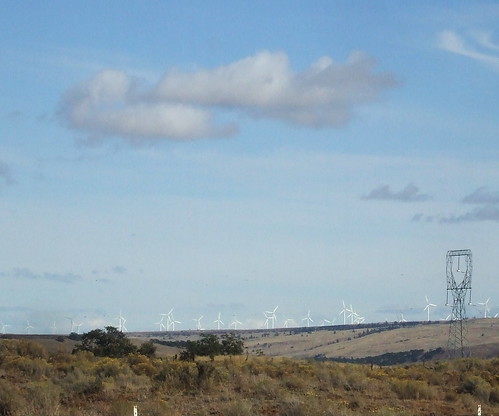
We then crossed over the Columbia to Washington, battling a vicious wind out of the WNW for the first 7.5 miles. At one point, the wind picked me up, bike and all, and set me in a ditch on the side of the road. Fortunately, I unclipped in time not to turn turtle, but it was damned scary there for a moment. As the sun rose, we turned east on SR 14 and, with the wind at our backs sped toward the first control in Roosevelt.
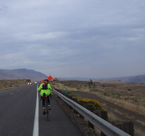
By the time we got to Roosevelt, it had started to rain - not hard, but persistent - just enough to make the road wet and jackets advisable.
From Roosevelt we continued east on SR 14 another 45 or so miles, to Plymouth, where we turned south to cross over the Columbia river (again) to the next control in Umatilla, Oregon. The tailwind was so strong that most of us covered the 104 miles from The Dalles to Plymouth in less than 6 hours. It was my first sub-6 century: 5 hours, 50 minutes, 5 seconds.
After a refreshing lunch in Umatilla,

we rode on through Hermiston,
Stansfield and Echo,
and Reith
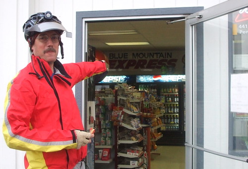
to the next control in Pendleton. There was some confusion over the location of the control, because the sign identifying it was actually INSIDE the store. Ooops.
From Pendleton, we headed back to Hermiston by way of an information control in Holdman. While we were in Holdman, the drizzling mist became a cold heavy rain. It rained on us for the next 20 miles, and we were all very happy to reach the shelter of the Hermiston Safeway, where a randonneurs' reunion of sorts was going on.

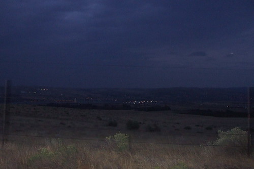
Although we no longer had our tailwind, we still had a significant cushion of time, and so we hung around the Safeway for a while, drying out and eating. Then it was back across the bridge to Plymouth and a grinding 15-mile climb up South Plymouth Road. By this time it was too dark to take pictures. There must not be much to do in Plymouth, because the entire male population between the ages of 18 and 35 was out racing their cars up and down South Plymouth Road. Only slightly disconcerting for a cyclist . . .
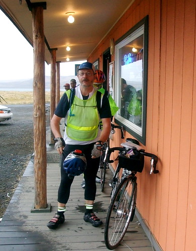
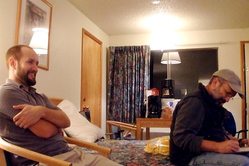
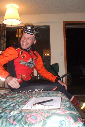
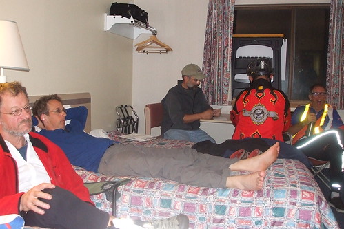
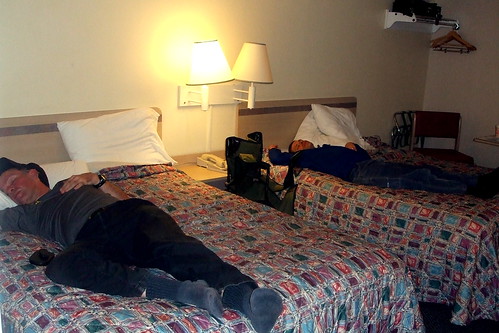
The pay off for the 15-mile grind was a swooping 9-mile descent. I took it as fast as I could, considering it was pitch dark (hurray for big headlights). At the bottom of the descent was Richland, where we would stay overnight. Of course, by "overnight," I mean 5 hours. I arrived in Richland at 00:45, and left at 5:45. 3 of those 5 hours were spent sleeping, the other two I spent getting ready to sleep and getting ready to ride.
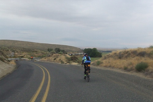
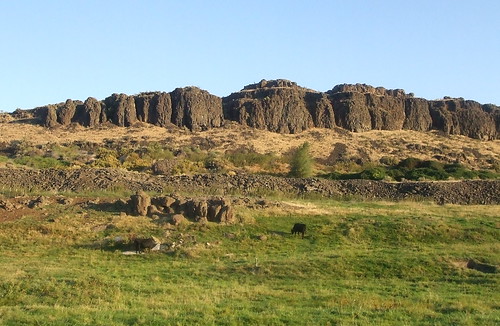
Day Two started with a long climb back out of Richland, through Benton City, and into the Washington Wine Country via the Old Inland Empire Highway.
After passing through controls at Prosser and Sunnyside, it was time to start the day's first serious climb.
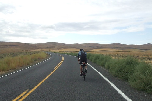
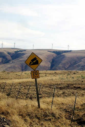
Day Two was supposed to be the "easy" day. Yes, there would be climbing, but of the minor grade, switchback variety. Unfortunately, the wind was uncooperative. Actually, to say it was "uncooperative" does not do it justice. It was downright belligerent. The 75-mile stretch from Mabton to Bickleton was without doubt the hardest thing I have ever done. Much harder than the Torture 10,000. Not because the grades were steep in reality, but because the headwind made a 2% grade seem like 20%. 7.5 miles an hour uphill is a perfectly respectable speed. 7.5 miles per hour DOWNHILL means that something is terribly, horribly wrong. I had way to many of those slow downhills on Sunday. I seriously began to doubt that I would make it to the Goldendale control before it closed. Every time that I thought the climb was over, I would turn a corner and see the road stretch out (and up) before me for what seemed like miles. And all the while the wind was blasting me backward and sideways, but never forward.

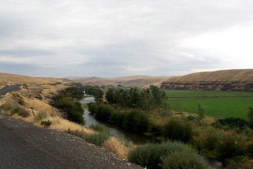
I stopped in Bickleton for some water and a snack. I thought that this HAD to be the end of the climb. Again, I was wrong. I was on a high plateau that stretched for miles and miles and miles and miles, and had nothing taller than a fencepost to break the wind that was rushing across it. At one point, the road pitched steeply downhill into a canyon, and then just as steeply back uphill to another high, endless plateau.
It was at about that point that I started screaming. Literally. Guttural, ear-shattering, primal screams. But I kept pushing on. Mainly because I had no choice. I finally reached the "real" descent, shortly before Goldendale. If I pushed it, I'd make it to the control there with about 15 minutes to spare.
At the Goldendale control, I ran in and got my card signed, did some quick wardrobe changes, filled my water bottles and took off. I had four hours to get to the final control in The Dalles, 45 miles away. It was getting dark, and I would be riding into a head wind on SR 14; there was still a very good possibility that I would DNF. Although I left the Goldendale control with another rider, Gary, he quickly outpaced me and I struggled on alone.
Riding west on SR 14 in the pitch dark is easily one of the stupidest, most dangerous things I have ever done. And I have done some stupid and dangerous things. But I made it to the turn off to The Dalles safely, and was rewarded with a tailwind aided 7-mile descent down to the river, over the bridge and into town. I made a wrong turn about 2 miles from the end, but nevertheless reached the final control with 40 minutes to spare.
My carpool mates, Andrew and Sal, eventually straggled in and we all took showers and a nap before loading the bikes on the car and heading for home.
The rest of my pictures are here
3 comments:
Thanks for sharing your story in words and pictures. Great effort out there in what sounds like really challenging conditions. Congratulations, once again, on an outstanding effort!
dr
Sounds like one of your hardest rides. Well done! We will be riding in the same area this weekend (Sept 27 & 28); Yakima to Prosser Saturday, back to Yakima on Sunday. We're hoping for less wind. Dave grew up in Sunnyside. Now you know why he prefers to live here in Portland :-).
Edna & Dave
Good job Cecil Anne. The wind didn't kill you so no doubt your even stronger now.
Post a Comment